Map of the Runs

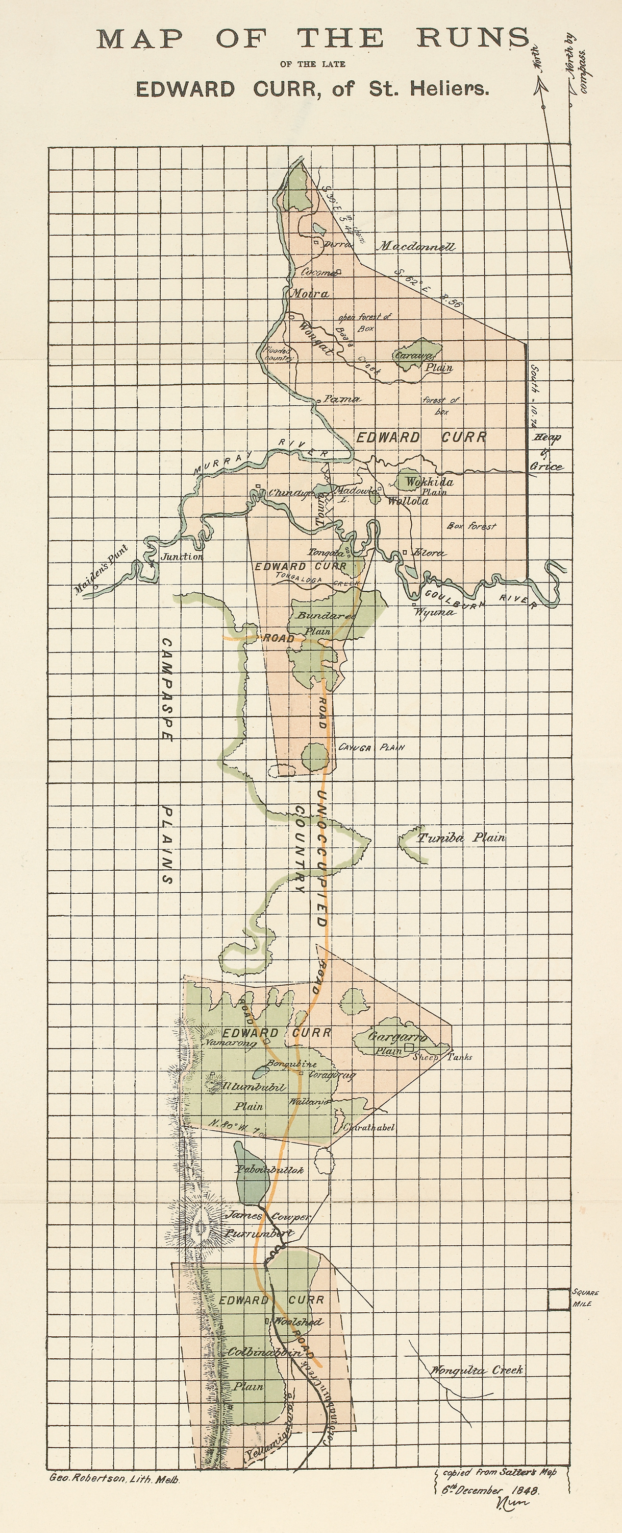
Map of 'the Runs': inset from Recollections of squatting in Victoria, then called the Port Phillip District (from 1841 to 1851), showing the region of land claimed by Curr.
Edward M. Curr, 1841 - 1851.
Accession number: RARELT 994.502 C93R
From the State Library of Victoria's Rare Books Collection.

